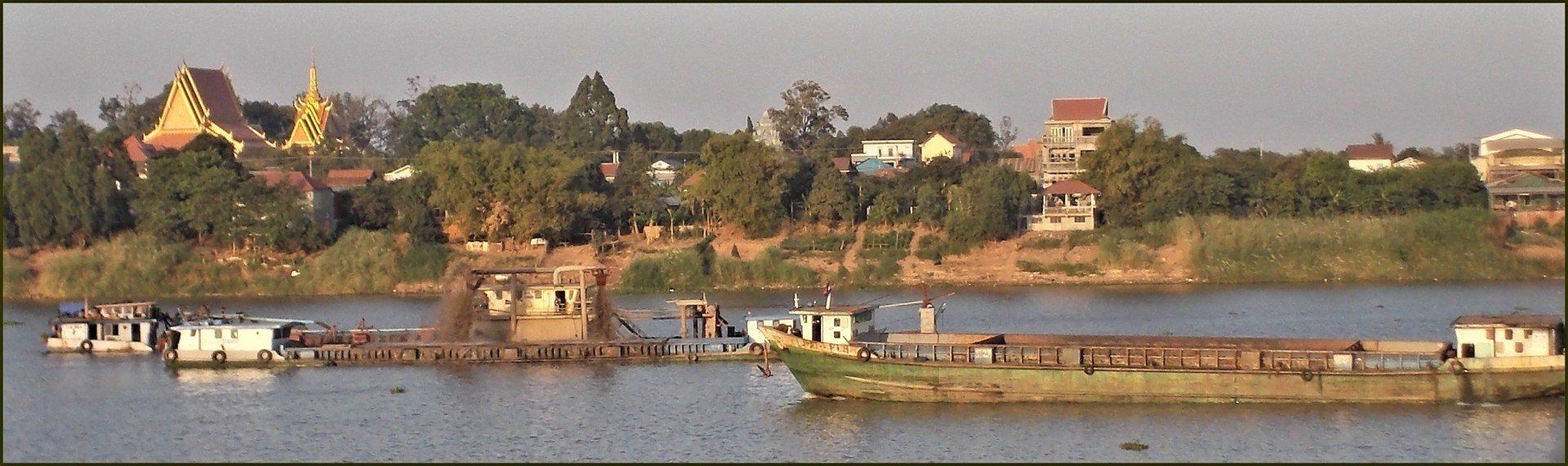
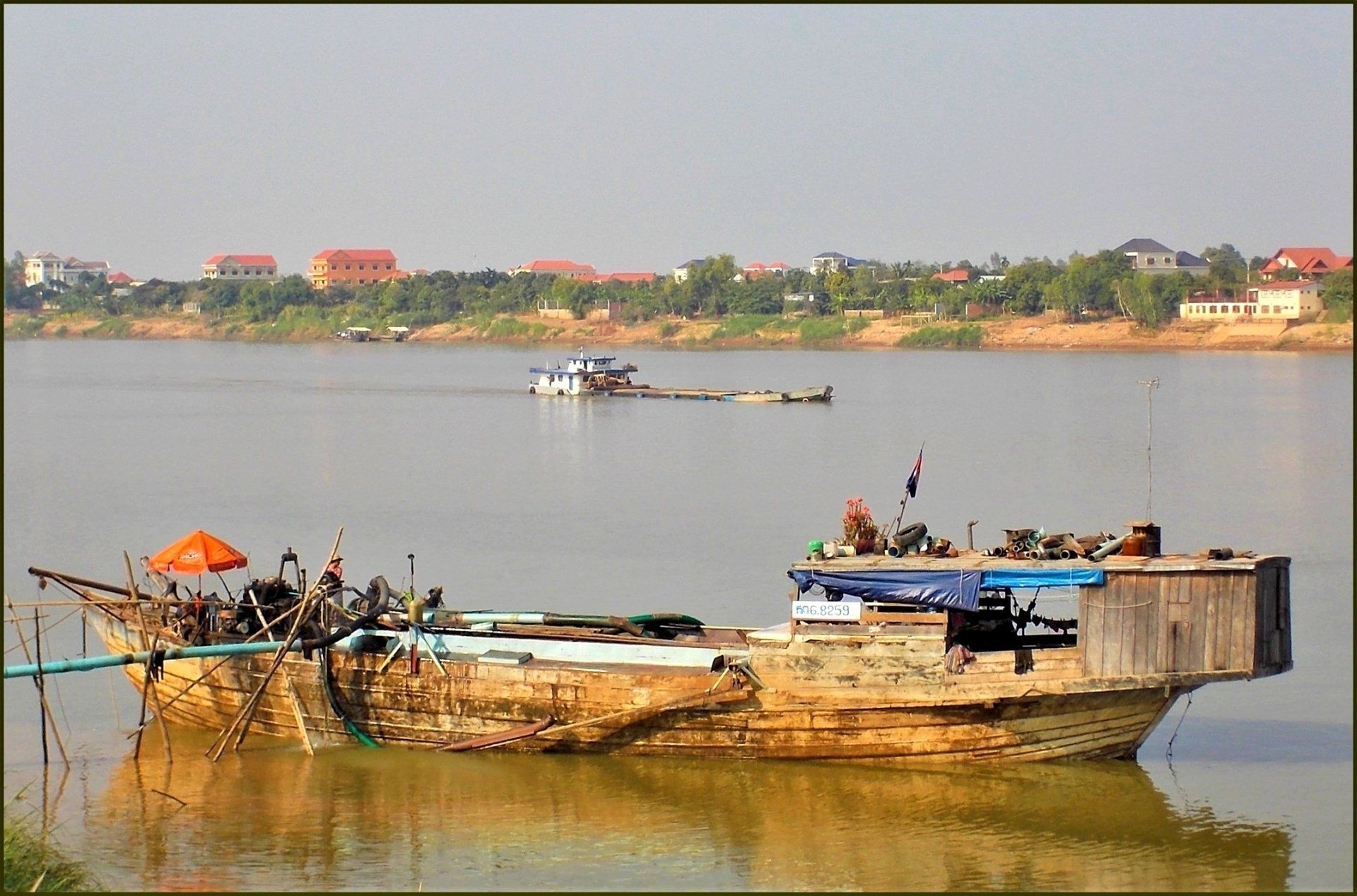
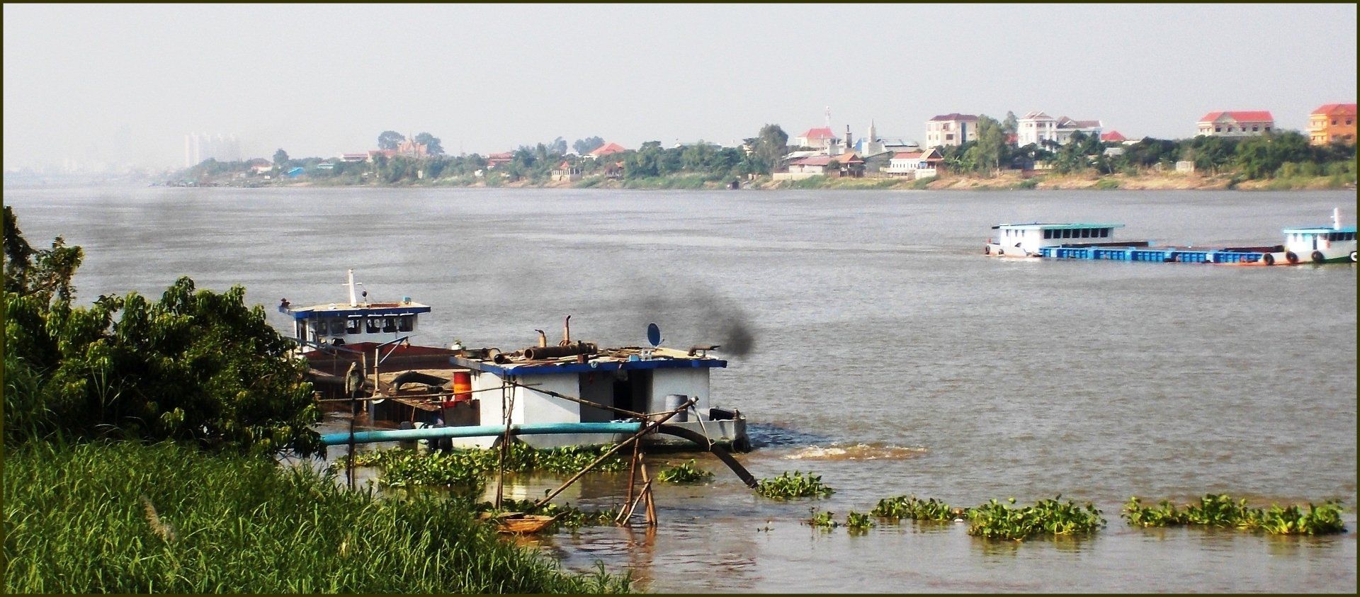
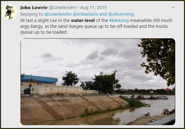
Mekong: Dam, Sand and Blast: Confluence of Calamities
Personal images and anecdotes to go with the unfolding tragedy of the River Mekong and communities depending on it.

Our Mekong Campaign
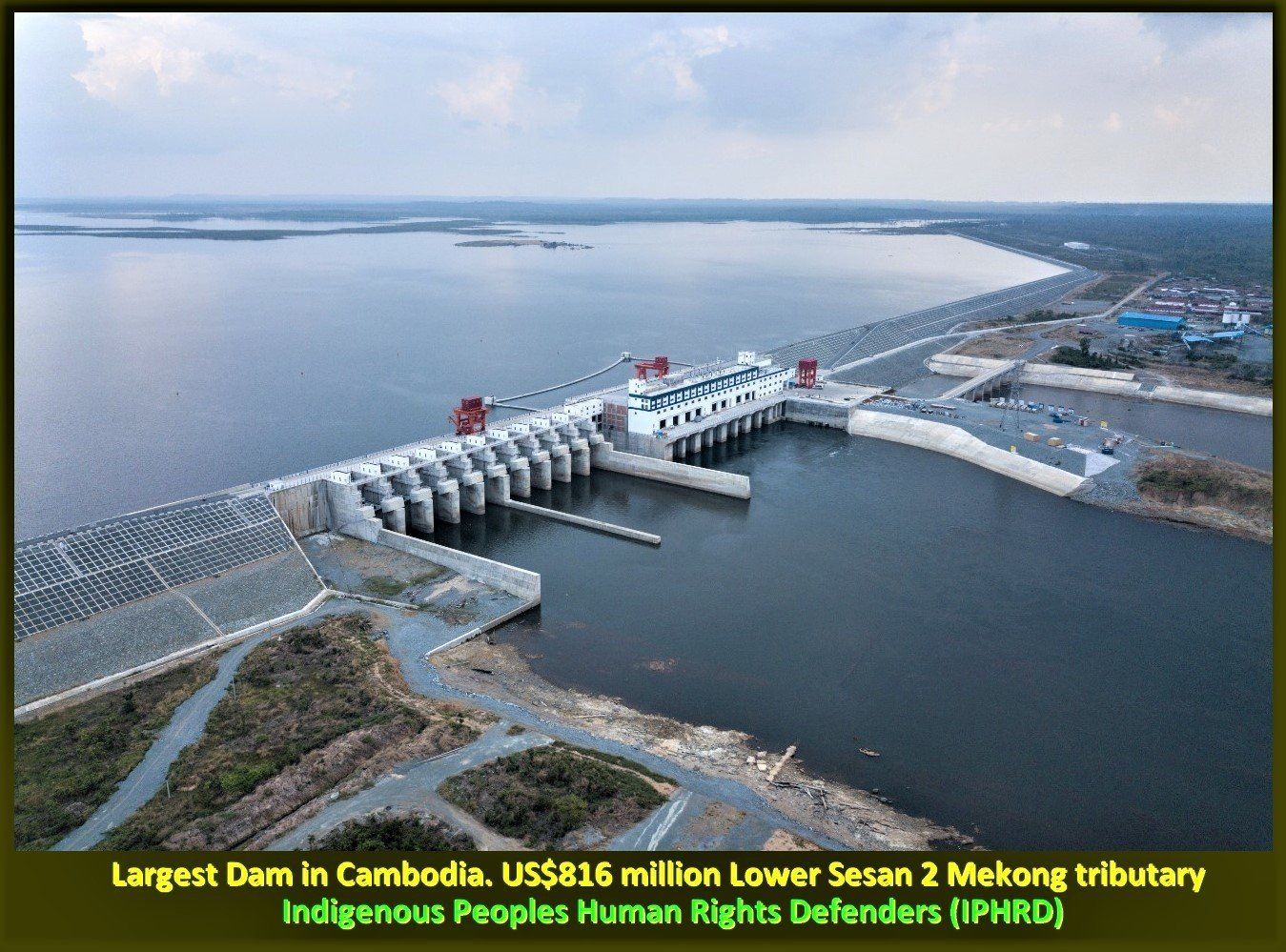
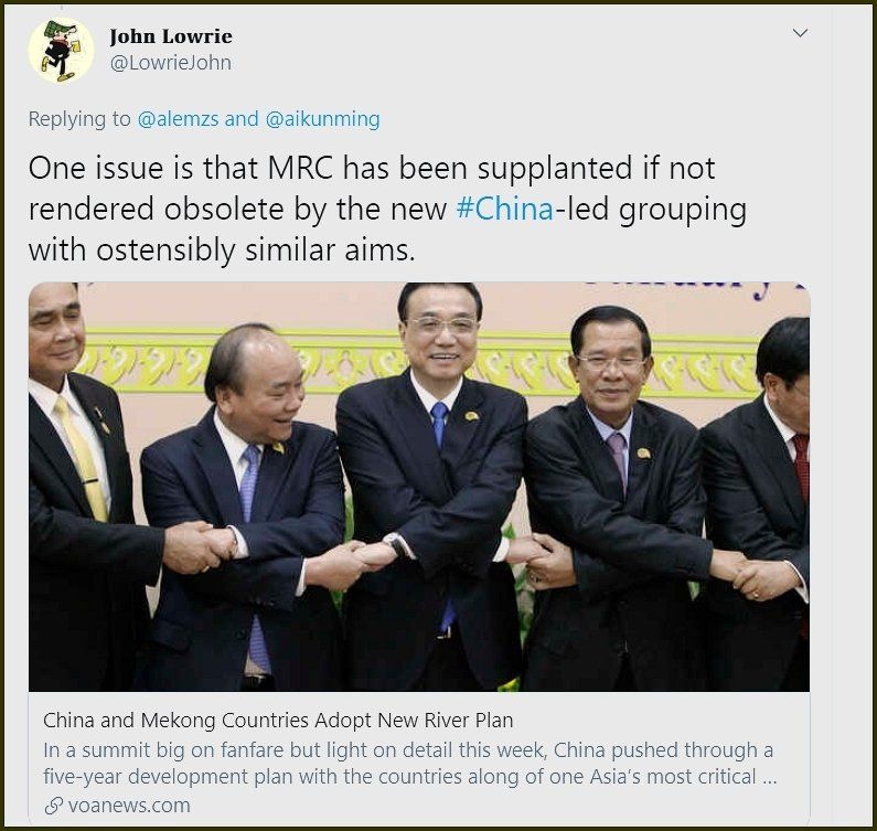
"The costs and benefits of large dam-building are indeed unequally distributed. Poor people are disproportionally affectedby large dams, such as people depending on fisheries and the ‘rice bowl of Asia’ irrigated by the Mekong River. Thewinners are Chinese firms, mostly SOEs, as well as local elites such as in the Cambodian government."
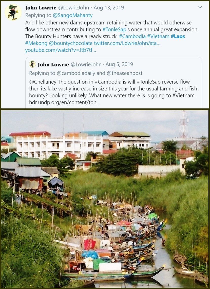

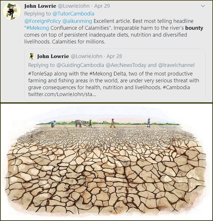
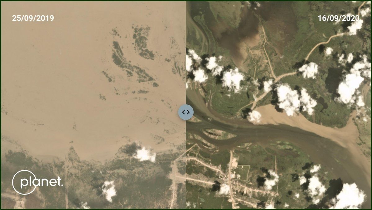
Prior to 2020, the 2019 wet season was one of the driest on record. The annual reversal of the Tonle Sap in Cambodia was severely delayed in 2019 but low rainfall plus upstream dam regulation (mostly from China's 11 mainstream Mekong dams) have totally erased the annual reversal of the Tonle Sap for 2020. This comparative image compares two extremely dry late September images. Remember September 25, 2019 was comparatively very year, so the flooding you see in the 2019 image is at a very low level compared to normal conditions. The September 16, 2020 image shows the Tonle Sap bottleneck at much lower levels - in fact, this is what the Tonle Sap bottleneck looks like for much of the Mekong's dry season which runs from December to May annually.